We had a relatively peaceful night at the Eagle Plains Hotel. No murders were reported during the night, so all travellers were free to leave in the morning.
I’m travelling solo, and doing what I can to avoid accidentally inserting myself into the plans of other travellers. Most others are travelling in groups of 2 — either a married couple, or long-time travel buddies.
(One exception is a large group of about 12 Chinese-speakers travelling in 2 rented RVs. Funny thing is, even with the RVs, they are exclusively staying in hotels 🤔. I guess renting 2 mid-sized RVs for the Dempster is a better option than trying to get a big bus up these crazy roads. )
There are a few groups I’ve been running into on and off since Whitehorse. If you’ve never met me in person, let me say my travel persona is quite gregarious, and I might be so bold as to say, even fun to be around! So I tend to get on well with folks when we congregate around meals.
I know how hard it is for people to be assertive while on vacation, so I’m being very mindful of not making myself a nuisance by tagging along their trip.

So, after breakfast in the dining room I make sure to ask for the estimated departure times of each group, especially the motorcyclists, and schedule myself accordingly.
Now the fun part…
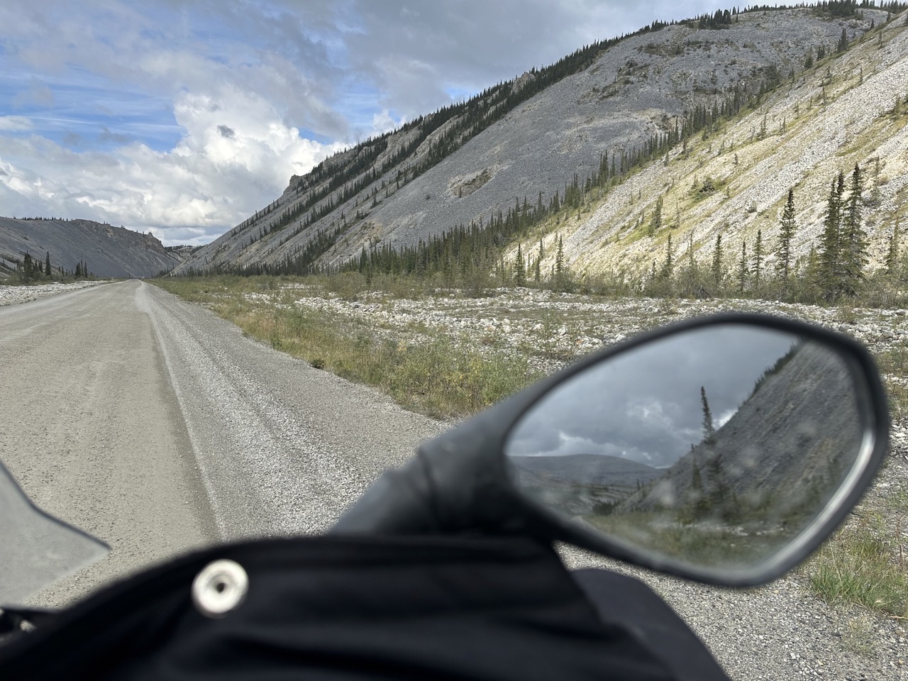
The portion of the Dempster north of Eagle Plains crosses some high mountain passes.
I wish I had some proper pictures of this portion, but I have no doubt they would leave you, my dear reader, with entirely the wrong impression. I mean, if I could stop to take sunny pics to glorious landscapes — how hard could this “adventure” be, right?!
Luckily what I did manage to shoot some video during one of those windy passes. Or should I say, the camera was on and running while I was hanging onto the handlebars for dear life. In any case, here’s a snippet of video shot high up on the Dempster.
To set the scene … again imagine you’re in Middle Earth, and you’re riding to the rescue of Helms Deep. You have to ride hard and fast because time is of the essence. For me, I wanted to be off the main road before I got too late in the day. The sun wasn’t supposed to set until after 11pm — but the shadows grow long and dark well before that hour. And wth it the temperature drops and the wind seems to rise.
[ Looking at the video a week after I wrote the description — it doesn’t look as high, as windy, as dark or as scary as I remember it. I swear it was worse in person! I kinda feel like Chicken Little now. ]
Curiously, there are 2 sections of road in this stretch that are designated as Emergency Airplane Landing Strips. Remember, we’re basically in the middle of nowhere here. But as you pass the first landing strip the winds pickup.
And I mean, really pick up.
I’m riding a big, heavy bike. Without me and my gear, by herself Storm tips the scales at over 560lbs. The way the wind just PUSHED us from one edge of the road all the way over to the other in the blink of an eye. And of course, at that point we’e on a ridge, so there’s no shoulder. There’s no side of the road to veer onto. There’s just a cliff, and what appears to be boulders down in the valley that previously rolled off the mountain. (Though the kinda look like trolls caught arguing in daylight to me).

After the Windy Passes — that’s what I’m calling that area; I’m not about to look up what others may have named it — came 2 river crossings on Ferry boats. These are regular road-service ferries, no booking, no tickets — just ride to the edge of water and ride onto the ferry. Once it’s full it takes us over to the other side, and off we ride to continue our adventures.
While waiting for the Peel River ferry to come back from the other side, it started to rain. And then my bike wouldn’t start. Lucky for me I had prepared for just this situation (the dead battery that is, the rain was a given) and packed my trusty portable booster. Given that I’m on a 2 year bike, I am, sadly, far too practiced at this procedure now. But that’s a story for another day.

On my next adventure, I’ll try harder to take photos during the really difficult bits. For now, my words will have to do.
On the second ferry, crossing the mighty Mackenzie River, I met a real champion. This fellow on a bicycle was on his way to Tuk. He, however, started in Ushuaia, Argentina. TEN YEARS AGO!

I feel I have nothing in this world to complain about 🤷🏾♂️

One response to “Northern Dempster Highway”
Dee, Glad to hear that you’re still ok and making progress toward your goal. The wind looked and sounded treacherous! Thanks for letting us “ride along’ with you.
Safe travels,
Roger, Jill & Kent
Your Utah stalkers